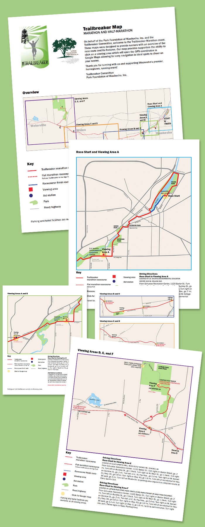
Park Foundation of Waukesha Trailbreaker Maps
Race event board of directors wanted a more detailed and accurate map than that which they provided to runners and their supporters in the past. I illustrated and created an interactive PDF map which includes color-coded insets, delineates surrounding streets and roads, parks and waterways, and marks viewing areas and aid stations. Enlarged insets include hot spots which open more detailed Google maps when clicked/tapped.