R I V A G E S I N Q U I E T S
–––
Cartography
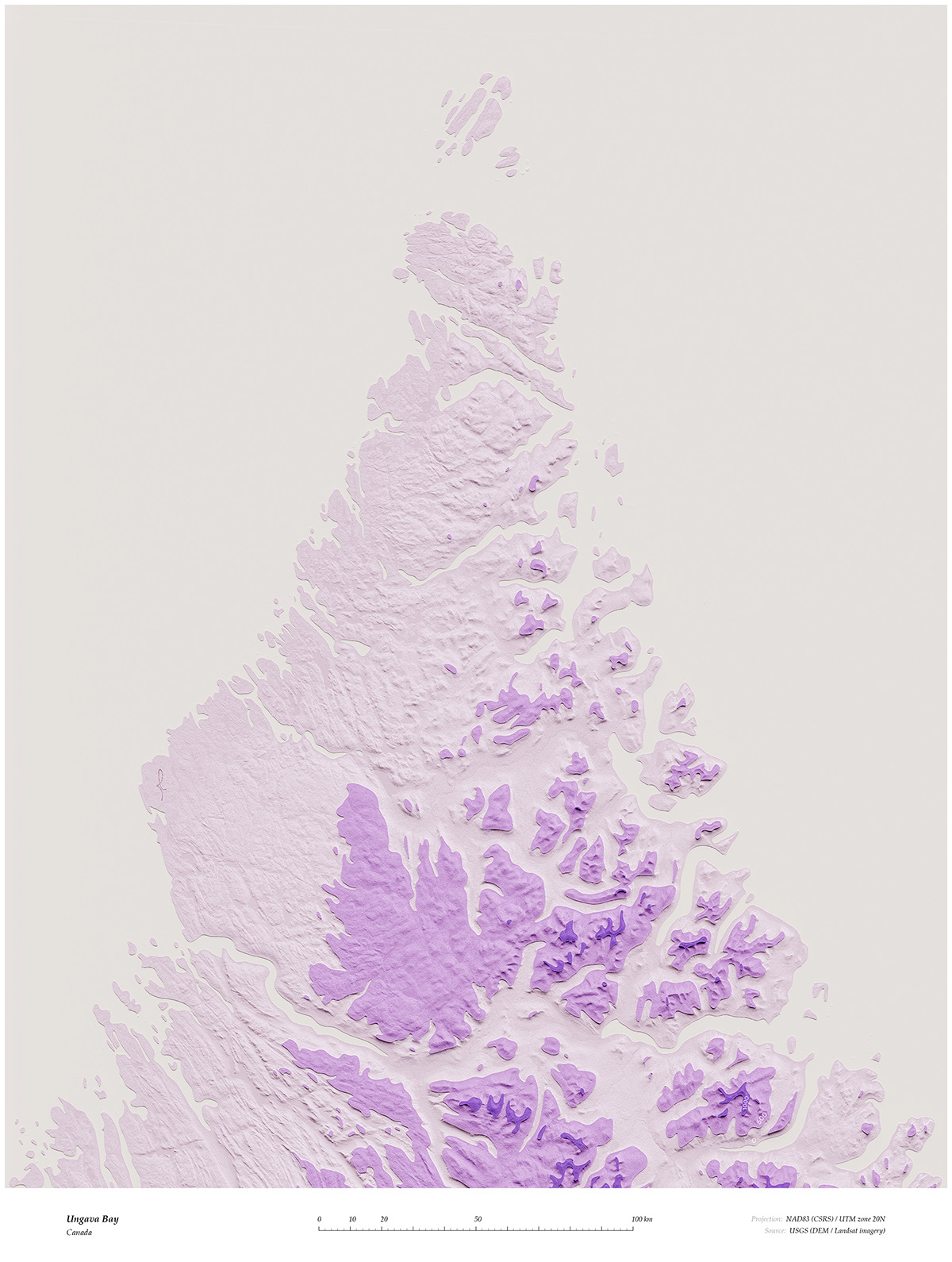
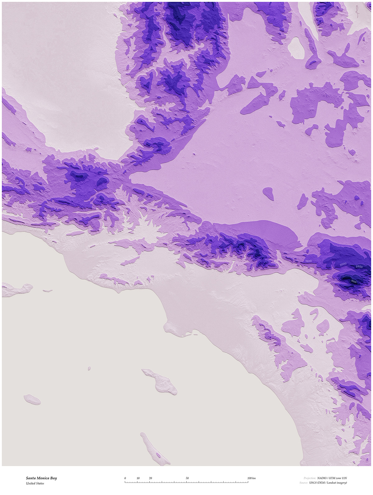
Let us take a virtual tour of some exotic-looking coastlines. In the Rivages Inquiets series, maps are styled as stacks of elevation contours, leading to... interesting results such as the ice cream look of the Ungava Bay, below. Design-wise, I extracted and refined contours using geographic software (QGIS) and Illustrator; rendered terrain topography in Blender; and composited the final maps in Photoshop.