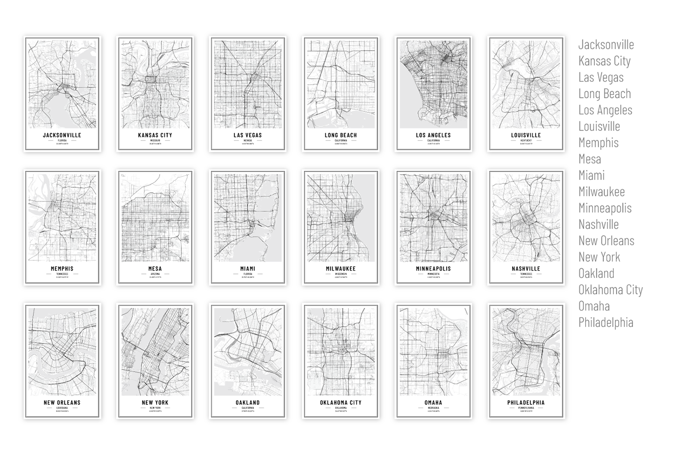
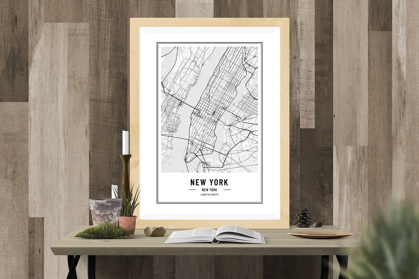
U.S. City Street Maps - Print Art
U.S. city maps with detailed street network, parks, trails, lakes, rivers, etc. These maps do not contain street names, they are wire-frame line maps of roads, streets and other infrastructure and natural landforms. Maps that will amaze everyone with the style and great level of detail.

Key Features:
- 100% vector files;
- Fully re-sizable without quality loss;
- Very easy to customize;
- CMYK black/white, ready for print;
- Layers are clearly structured and labeled;
- Different widths according to the importance of the streets (Primary, Secondary, Tertiary, etc. - up to 7 level of importance);
- Bodies of water: rivers, lakes/sea;
- Green areas: forests, parks;
- Residential areas;
- Suitable for branding, products, backgrounds, web, social media and more...

CONTENT
The package includes:
- 50 Adobe Illustrator files, CS6 version;
- 50 PDFs, print-ready files;
- 5 Adobe Illustrator files for the frame styles.
SIZE
Files included are at 16x24 inches (a 2x3 ratio). Because the maps are in vector format you can print also in other sizes without any problems: 4x6 in, 6x9 in, 8x12 in, 10x15 in, 12x18 in, 20x30 in, 24x26 in, etc..
Also you can edit the maps to print in other sizes suitable for frames form major stores like IKEA, Amazon, or from your favorite digital printing service.