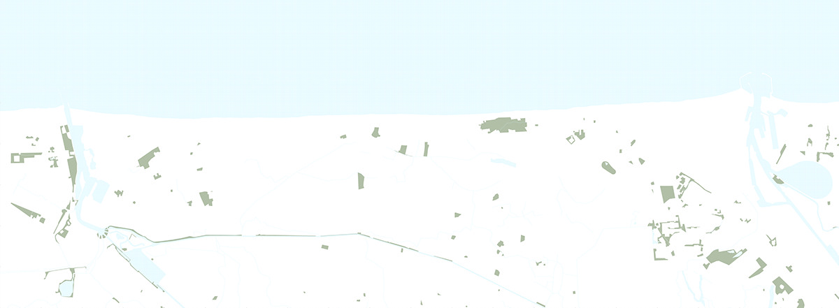
The Atlas of the Belgian coastline landscape
The Belgian Coast. Everyone’s first thought will be probably about the sea, high-rise buildings, promenades, pricey shops and restaurants and so on. But, just a small percentage of people would start to think about the landscape, and if so, just about the beaches and dunes. However, there is a lot more to re-discover. Despite the fact that the whole coastline region is not so built-up as the typical rural landscape of Belgium, the potential of the ‘unbuilt’ is often neglected and focus is only towards the sea. In this Atlas of Landscapes, I have mapped different conditions in order to get a coherent idea about hidden and valuable unbuilt areas in the coastline territory.
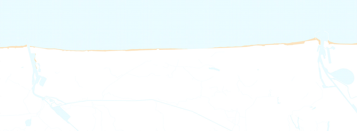
Beaches


Nowadays, the beach is the only coastal landscape towards which the development is oriented. The proximity of the sea plays the biggest role in the real-estate market and direct view onto it can even double the price of the apartment. Thus, the beaches are heavily used by the tourists and regular inhabitants and are transformed to the almost unnatural environment. The sand is each day levered by dozers in order to ‘keep it where it belongs’ and to prevent natural transformation of the coast – constant erosion and sedimentation and thus change of seaside landscape. Even in those parts of the coast where the sea is not in direct contact with the cities and these measures are not needed, the dyke is used instead of the dunes to ‘petrify’ the line of the shore.
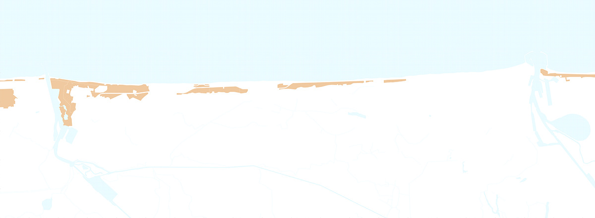
Dunescapes


Until the end of middle age, the whole coastline of Belgium was under the never-ending state of transformation. The wind and tide were constantly shaping the dunes, new ones were emerging and the old ones disappearing. Inland marshes and bogs with the salt water were a native part of this process as well as the process of erosion and sedimentation. This mechanism of dunes production at the same time formed a natural barrier against the storms and floods. Over the years, the dunes were replaced by the dyke, which was often put between them and the beach. The Belgian coastline was typical by a smooth transition between the sea and land, without any reefs and cliffs as for example in neighbouring France, however nowadays it just barely profits from it. The leftover of remaining dunescapes are scattered and dissected and do not form a robust eco-system anymore. In order to ‘protect’ them, the fence was built around remaining areas to prevent people from entering and using them. Thus, we are protecting something which is barely useful for inhabitants of the Coast and due to its fragmentation doesn’t work as natural enviroment well. We should aim to profit out of this valuable landscape more, by means of sensitive architectural interventions which would make them accessible again and at the same time, restore the missing natural links between beaches, dunes and inland landscape.
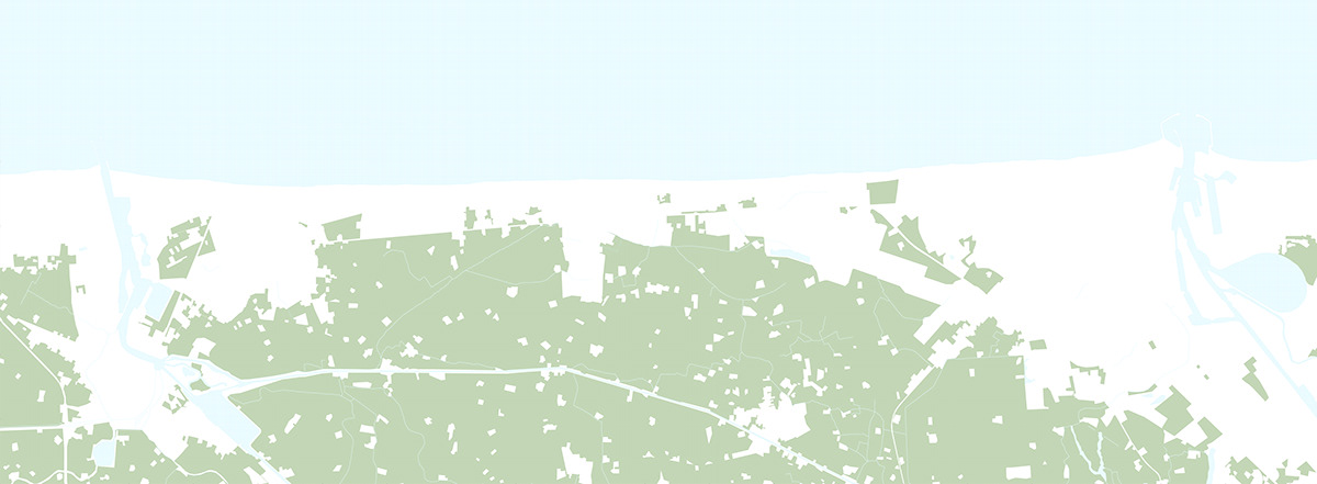
Fields


The biggest portion of coastline landscape is dedicated to farming in the polders, which were reclaimed from salt marshes during the years. The fields are located on or under the level of seawater which makes the conditions for growing crops very good due to the process of groundwater infiltration. This, together with extensive Belgian rainfalls means truly valuable landscape for food production. On the other hand, polders are under consistent threat from the floodings, which needs to be prevented by various canals and dykes.
The idea about the productive landscape, which basically connects food growing and the city was brought into the light in the year 2004 and nowadays it is slowly emerging also in Belgium. A few shops selling purely local produce in the coastline towns appeared, as the focus on the how is food that we eat produced getting stronger. However, this is just one possible value of the landscape. The urban areas in the coastline region are facing backwards to this landscape and ignore the fact that it can also become valuable semi-natural enviroment to dwell and relax in.
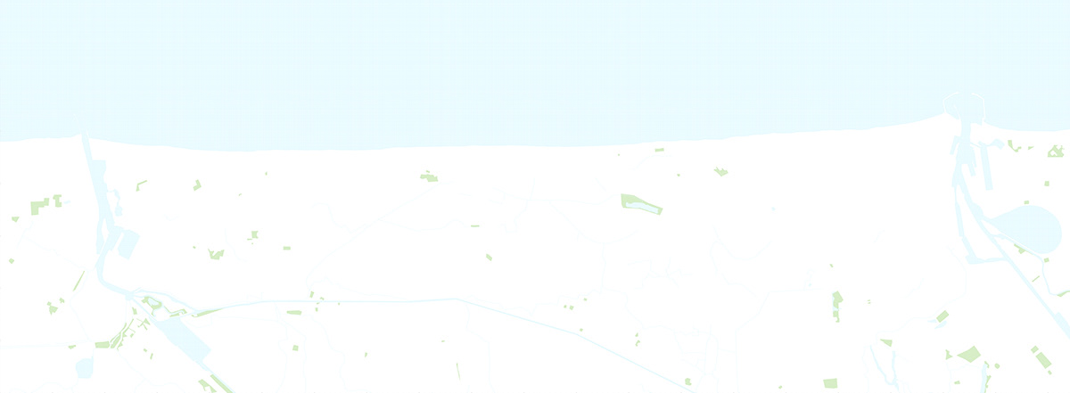
Pasturelands


These unbuilt areas share similarities with the Fields and mutualy intertwine between each other. Still, prevailing trend of connecting the pastures and fields into larger units without division is maybe more effective in economic terms, but leads to inevitable unification and thus the destruction of the agricultural landscape as the valuable living environment. The specific conditions of Belgium, where the urban sprawl and spreading of the cities into the surrounding landscape were parts of the housing strategy last years mean serious risks. The strategy for the coastline territory should include clear statement tackling the relationship between the built and unbuilt areas which are now left behind.
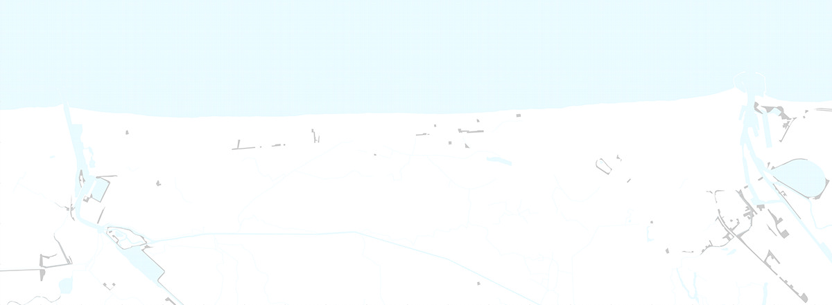
Transitions


The indisputable fact is that Belgium is one of the densest countries in the world. In the Flemish region, the percentage of built-up land raised from 19,6 to 26,2 % just between the years 1985 and 2009 and the number is still growing. Despite this, people and planners are still not fully aware of the rareness of unbuilt areas and spread onto the landscape slowly continues. In this process of ‘patching up the landscape’, many potentially valuable places are left behind. I call them transitions – transitions between two used zones with no real function, but if properly used, they can become a valuable link. Even in natural habitats, the border or edge between two environments is always the richest area, where the species from both can profit. These spaces have strong hidden potential which should be appropriately used.
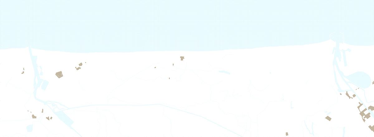
Brownfields


The second overlooked typology of the ‘void’ is the brownfields. Built-up in the past, then demolished and now forgotten. When coastal municipalities speak about urban densification, these spaces should be their primary target. Especially in the harbour area of Oostend, declining industry caused the disappearance of many buildings. Location fairly near the city centre and good transport connection, make these plots valuable land for the new development.
Parks


Together with the beaches, they are only used unbuilt spaces in the coastline territory. Although that all of them are manmade, they are still valuable also in a natural way. However, the fact is that around a third of them are in private hands with the limited access, which is available just in certain hours or for which you need to pay. This is also the case of various open-air sports facilities, which are usually surrounded by sort of parks, which can in ideal case serve for the public, even when the particular facility is closed. Moreover, the big portion of these is poorly accessible or not even well connected with surrounding urban tissue.