This project began as part of the workshop Experimenting With Design: Playing With Data Derived From Unusual Locations at the Nordes 2013 Conference. Images of graphic elements were collected and geotagged along a stroll through the developing mixed-use neighborhood around the Malmö University School of Arts and Communication, a former waterfront industrial area. The images were then blurred and pixelated to reveal visual patterns relative to geographic space and its functions. These images were also used as semantic layers in explorations into the semiotic construction of the space by layering with historic maps.
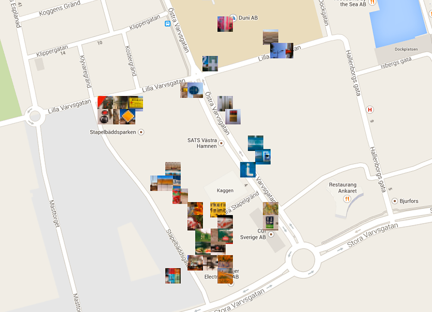
Map of Blur Test 01

Monument of some of the elements of that area's graphic semiome.
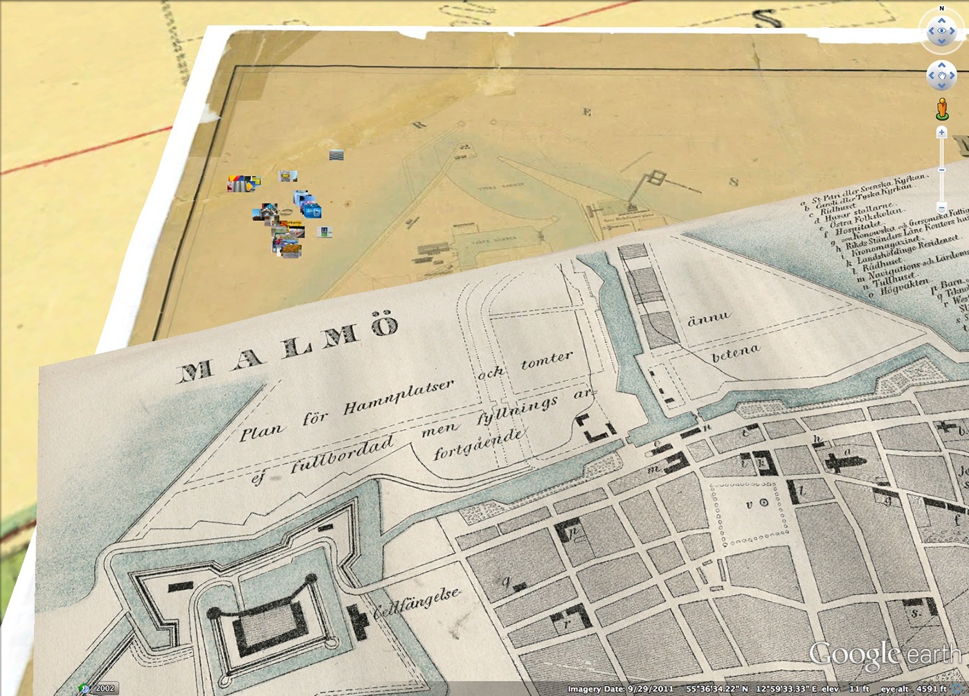
View of the site with historic layers.


