


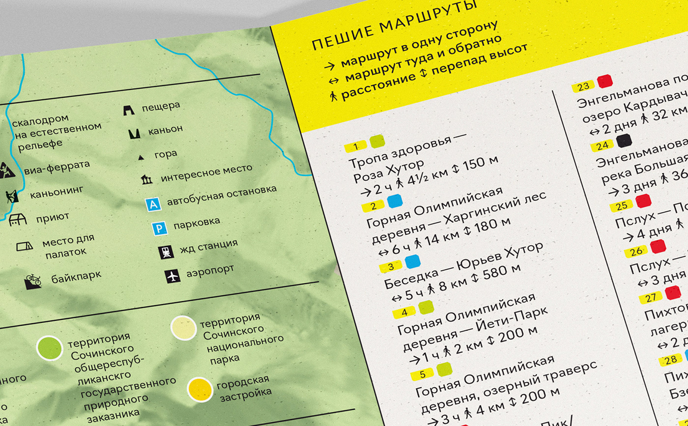
The first side of the map is for planning walking and cycling activities in the area of Krasnaya Polyana and Adler. The map shows National Parks, geographic objects, roads, routes, and provides information about difficulty and distances.


On the second side of the map there are bicycle routes in the area of the village of Krasnaya Polyana.


Editors:
Evgeny Matalyga
Max Kirin
Design, infographics, layout:
Viktor Tyapkov
Relief:
Nadya Staritsyna,
Maria Balasheva,
Sergey Dudin
Fonts:
Navigo,
Menoe Grotesque,
Flicker / type.today
Good Headline Pro / FontFont
2021


