We were tasked with creating an alternative map of the iconic walls of Derry. The walls enclose the medieval city centre and their history has been closely tied with Ireland's turbulent past. We assumed the metaphor, based upon the city's history of linen and dress manufacture, that the walls are the clothing of the 'Maiden City' (a name derived from the fact that the walls were never breached).
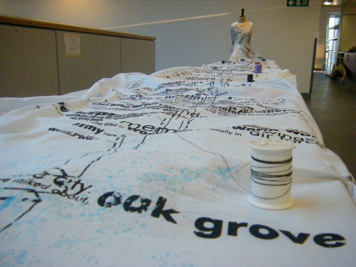
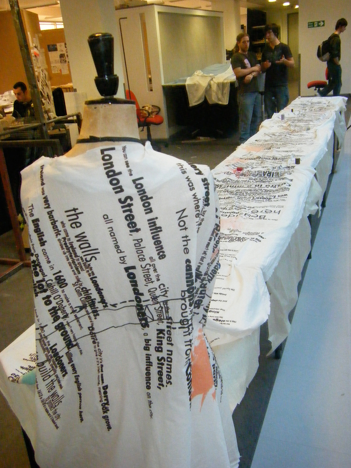
The map became a dressmaker's pattern, wrapped around a dressmaker's manikin. The dress is patterned with a conversation which meanders through Londonderry's troubled past and the day to day life that takes place in, on and around the famous walls.
The map became a dressmaker's pattern, wrapped around a dressmaker's manikin. The dress is patterned with a conversation which meanders through Londonderry's troubled past and the day to day life that takes place in, on and around the famous walls.
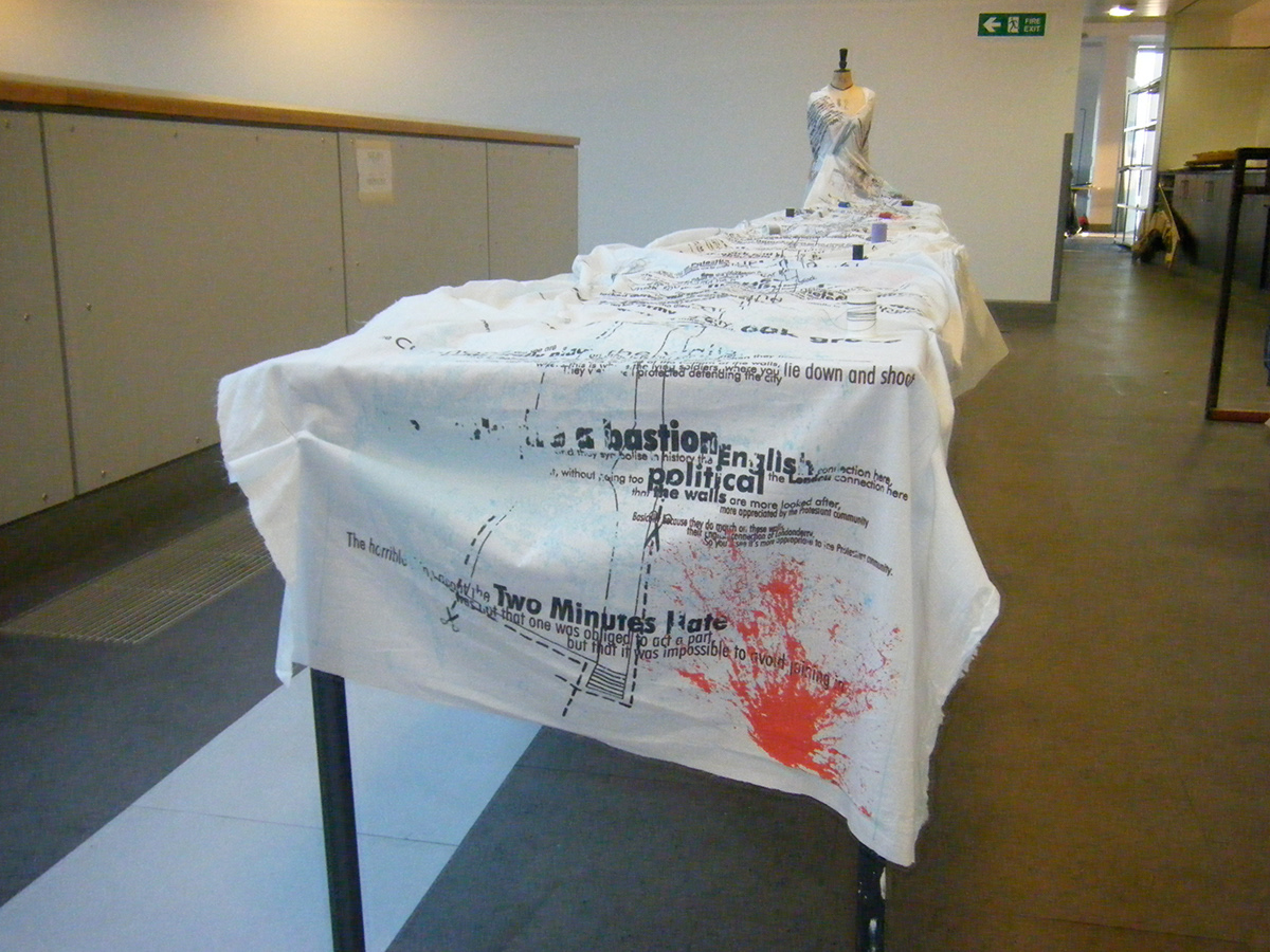
Below is the complete 60x800cm map.