Connemara: Legend and Landscape
Text and Photographs Hugh McElveen


Omey Island looking towards Hy-Brasil.
Hi-Brasil was the Otherworld where the dead resided. Belief in it was so strong that when John Purdy made the first maritime maps of the seas around Ireland in the 19C he gave it co-ordinates. It wasn't until the maps were revised 20 years later that the island 'disappeared'

Spiddle, looking towards Hy-Brasil at dawn.

6C early Christian Men's Graveyard Omey Island

Quarry Oil Puddle Clifden

Modern Mag Mel Looking East,
The Mag Mel was the plain of honey. It was the ribbon of gold the setting sun cast on the sea in the west of Ireland. On this path of honey the days dead walked to get to Hy-Brasil.

Modern Mag Mel Looking West,
Many natural phenomenon were given mythological and religious significance. The Mag Mel is but one example and this practice was not peculiar to Ireland.

Rhododendron introduced by the British creeps up on a disused small holder's cottage.

Rhododendron, Turf and Road with Erratics

Breached Wall Famine Village

Pylons, Electricity Sub-station

No Dogs I

No Dogs II
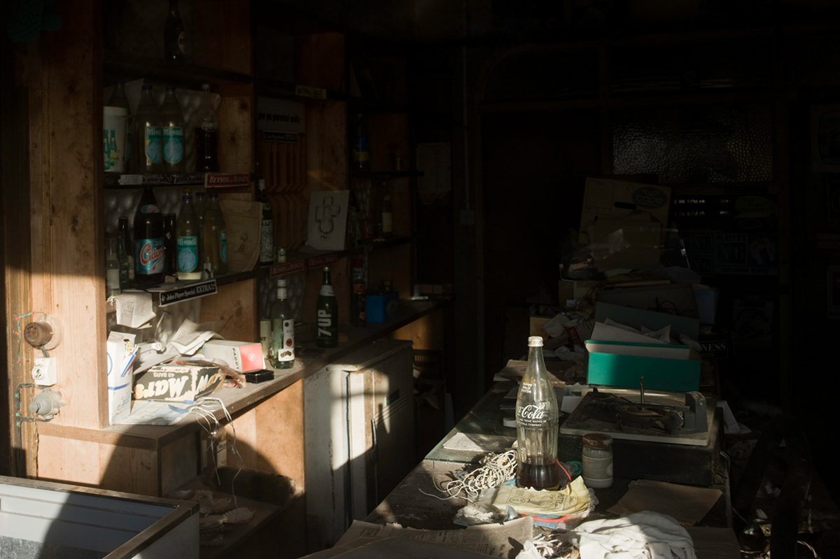
Deserted Pub,
Rural depopulation is still a feature of the West of Ireland

Pub Window

Rejuvination

Erris Beg

Famine Village

Looking North From Erris Beg


St Patrick's Chapel Mam Ean

